Umbwe Route
The Umbwe Route is the steepest, most direct way up Kilimanjaro, for fit and experienced hikers. What to expect, and our Umbwe climbs.
Also on this route: 8 Days Umbwe Route
Kilimanjaro climb
Mount Kilimanjaro offers six established routes for climbers: Marangu, Machame, Lemosho, Shira, Rongai, and Umbwe. Marangu, Machame and Umbwe start on the south side of the mountain. Lemosho and Shira start in the west. Rongai comes in from the north, close to Kenya. Every route except Marangu and Rongai comes down via Mweka.
The 6-Day Umbwe Route: hard work, big views
The Umbwe Route is known as the steepest and most direct way up to the Southern Glaciers, the Western Breach and Uhuru Peak. Many climbers think it is the best-looking non-technical route on Kilimanjaro. It is also very hard going, so it is not for everyone.
Because it gains height so quickly, the Umbwe Route asks a lot of your body.
We drive from Moshi to the Kilimanjaro National Park Gate. While we wait for the permits, you can watch the crews pack and get ready for the climb. Then you set off through the rainforest on winding trails, and your guide tells you about the plants and animals along the way. Down here the trail can be muddy and slippery, so we strongly recommend gaiters and trekking poles. The path follows a ridge between two deep valleys, up through thick montane forest. Camp sits among huge trees and dense undergrowth.
After a night’s sleep and a big breakfast, you leave the rainforest behind. The path climbs steeply along the Umbwe ridge, then drops a little to Barranco Camp in the valley. It starts to get colder from here.
After breakfast, you climb the steep Barranco Wall, a fun scramble, and go on to the Karanga Valley and the junction with the Mweka Trail. Today you really see how strong and nimble your crew are. They move up the wall with heavy loads as if it were nothing. Overnight at Karanga Camp.
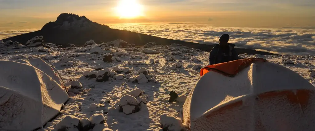
You keep climbing to Barafu Camp. When you get there, you have finished the South Circuit, which shows you the summit from many different angles. Dinner is early, then you rest before summit night. Overnight at Barafu Camp.
Elevation: 4662m/15,295ft to 5895m/19,341ft
Altitude gain: 1233m
Descent to 3106m/10,190ft
Altitude lost: 2789m
You wake up very early and set off between midnight and 2 a.m. Everyone is a bit nervous and excited. This is the hardest part of the trek, for both body and mind.
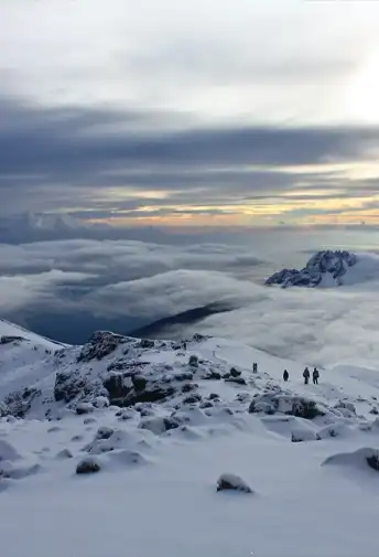
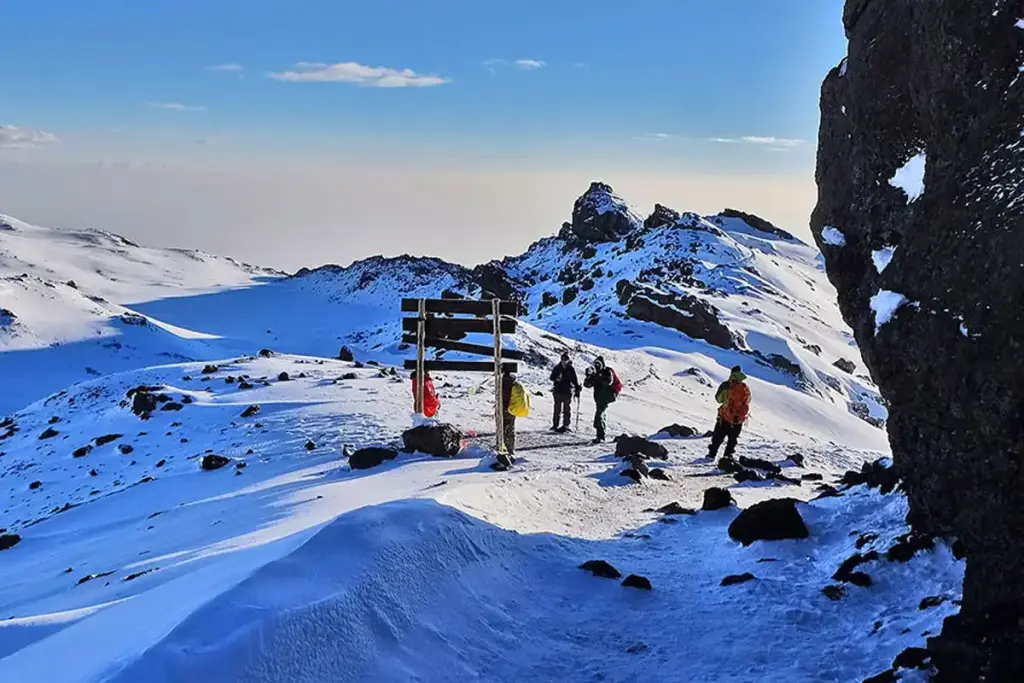
You climb between the Rebmann and Ratzel glaciers, working to stay warm and keep your mind on the goal. The path zigzags to the northwest through heavy scree up to Stella Point on the crater rim. You stop here for a short rest, often just as the sun comes up, and the sunrise is beautiful. Faster hikers may see it from the summit instead. The last 1 hour up to Uhuru Peak usually has snow the whole way.
Well done. One step at a time, you have reached Uhuru Peak, the highest point on Mount Kilimanjaro and in all of Africa.
There is time for photos, hugs and maybe a few happy tears. Then the steep descent to Mweka Camp begins, with a stop at Barafu for lunch and a short rest. The ground is loose gravel and volcanic ash, so we strongly recommend gaiters and trekking poles. In the evening you can finally rest and enjoy your last night on the mountain. Overnight Mweka Camp.
After breakfast, you say thank you and goodbye to your crew in a small ceremony. Then you walk down to the Mweka Park Gate, where you receive your summit certificates. It gets much warmer on the way down, and the trail is wet, muddy and steep, so we strongly recommend gaiters and trekking poles.
Route guide
The Umbwe Route is the steepest, most direct way up Kilimanjaro, for fit and experienced hikers. What to expect, and our Umbwe climbs.
Also on this route: 8 Days Umbwe Route
You might also like
Tripadvisor reviews
Excellent Trip of a Lifetime
Our family had the trip of a lifetime over the holidays. Our guides were amazing and always checked to make sure that we had everything we needed. In less than 2 weeks we got to do a short safari in Ngorongoro Crater, did a family visit as part of the cultural experience (my kids are still talking about how good the food was!!), visited Moshi for shopping, went to Dar Es Salaam and did a 2 day trip to Zanzibar. The logistics were all very smooth and the guides added humor and levity to the entire trip. We were in good hands and will never forget the hospitality shown to us while there. The best thing about the packages is that you can work with the team to tailor it to your exact timeline. We had to get back to work and school so opted for a short Christmas trip but we'll eventually go back to do a longer summer trip. Forever indebted for such a great experience!
Trip of a life time!! But why not go back?
BEST VACATION!!!! Eye opening, amazing, Beautiful and REAL. The safari was my favorite part. Seeing animals you learn about and dream of seeing right in front of your face. The food was great I ask you to be open and not get your norm. Safe? Yes. Of course there’s times you question a new country, area and people. There was never a moment I was in question of people or my surroundings. Next time I’m bring my kids they’re older and can help pay… hahaha. I heard it’s best not to go during the rainy Season it’s just easier and more enjoyable to get around. Just what people have said.
Great experience
Had a wonderful Safari experience in Nothern Tanzania. Got to see some Lions very closely. Best experience in a very long time tbh.
It was an amazing experience!
Awesome experience! Beautiful and exciting destination full of nature! We went during fall but anytime of the year is recommended. Planning for my next trip there!